Precise aerial solutions to produce the greatest yield from your agricultural operation.
PRECISION AGRICULTURE WITH AERIAL INTELLIGENCE
Advanced drone data enables farms and agricultural businesses to manage crops, livestock, and operational infrastructure to optimize efficiency, yields, and sustainability. With Drone as a Service (DaaS), you have the insights you need to ensure the success of your agricultural operation for many years to come.
CROP HEALTH MONITORING
Drone as a Service (DaaS) provides farmers with fast, hyper-accurate insights into crop performance across every stage of the growing season. Using 4K cameras, thermal imaging, LiDAR, and multispectral sensors, our drone intelligence can:
Identify nutrient deficiencies, water stress, and disease in crops
Detect soil degradation and invasive species
Spot irrigation and chemical misuse issues
Monitor and compare field performance throughout seasons
Create NDVI and NDRE vegetation indices
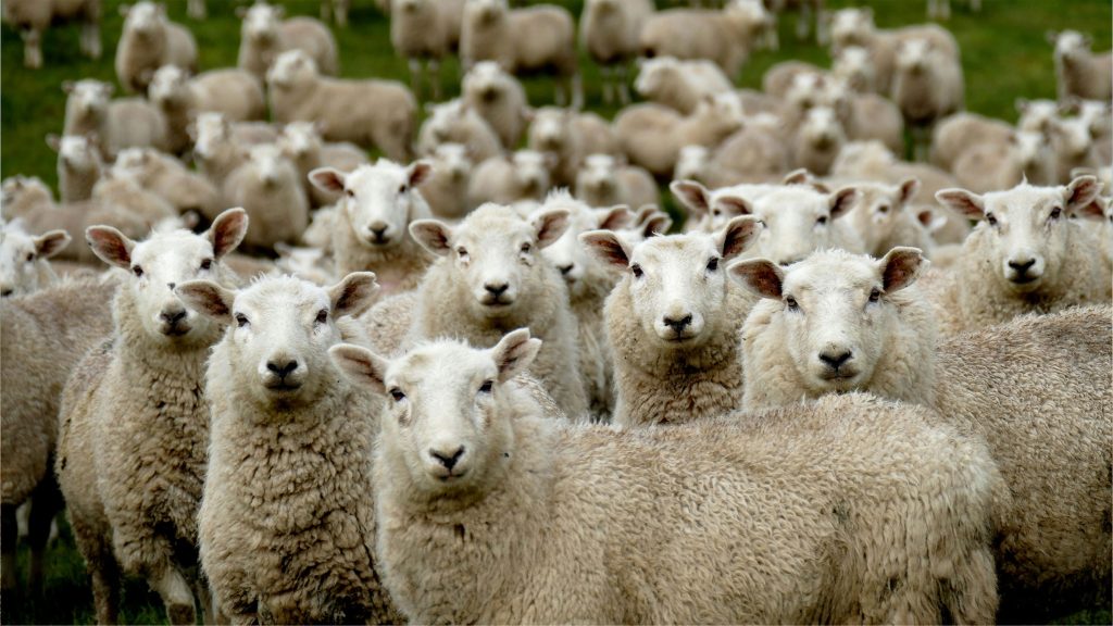
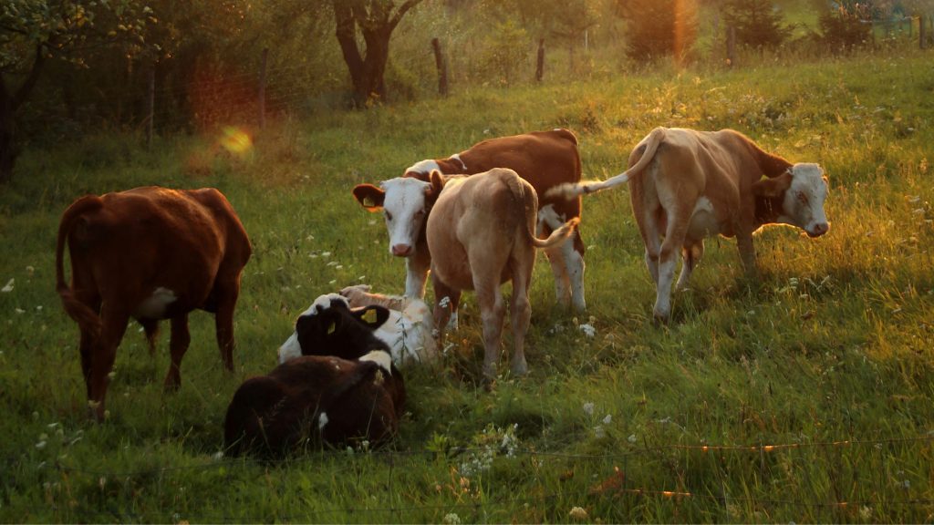
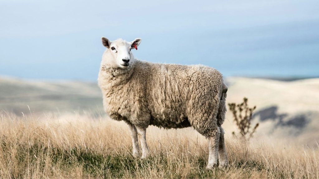
LIVESTOCK MANAGEMENT
Traditional livestock management methods can be time and money-consuming, while resulting in incomplete data. Our drone intelligence enables you to:
Automatically count animals with AI and identify them
Detect sick or lame animals via thermal readings
Locate missing animals
Monitor stock movement, especially in difficult-to-access terrain
AGRICULTURAL INFRASTRUCTURE MONITORING
Every farm, ranch, and agricultural operation has ongoing maintenance needs. Detailed aerial inspections help you spot issues early, improve safety, and plan repairs efficiently. With Drone as a Service (DaaS), you can:
Inspect buildings, roofs, roads, tanks, fencing, and more
Monitor irrigation and drainage systems
Assess storm damage
Identify repair needs
Keep workers safely off ladders and scaffolding
Get detailed images for insurance or grant purposes
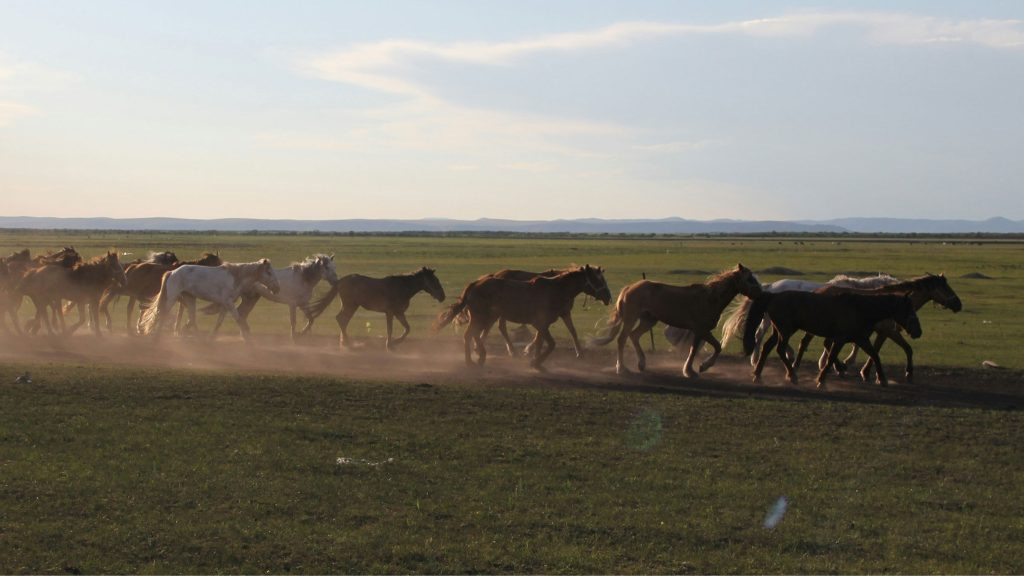
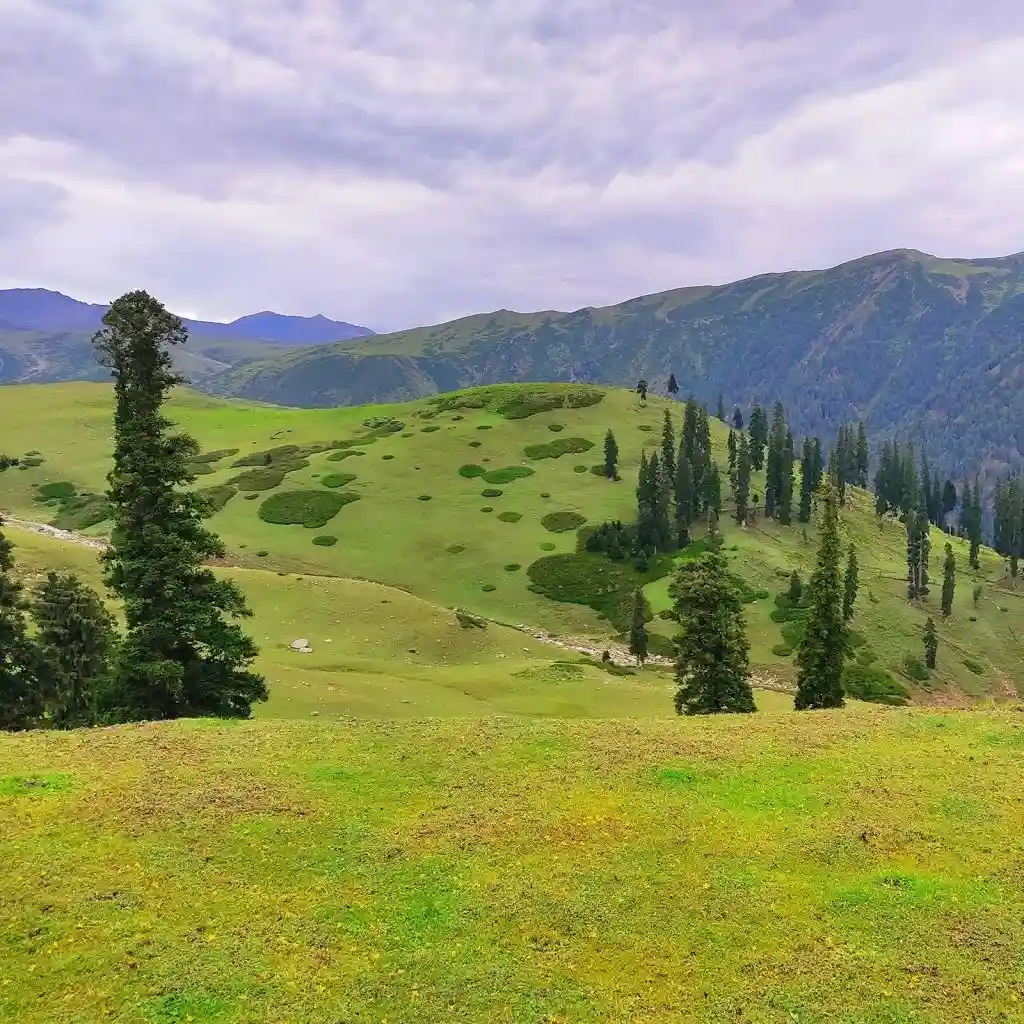
GRASSLANDS MANAGEMENT
Drone data can help farmers, governments, and agencies optimize conservation strategies across vast terrain. Drone as a Service (DaaS) can provide insights that help clients:
Calculate vegetation biomass, density, and growth rates
Monitor grazing and human usage
Plan restoration initiatives and invasive species control