Drone Services for Golf Courses
Precision Management for Greens and Tracks: Drone Solutions for Golf Courses & Racecourses
Aerial Intelligence for Optimal Turf, Safety & Guest Experience
Golf courses and racecourses demand meticulous care, accurate planning, and constant upkeep to deliver world-class experiences. DaaS drone technology offers a new dimension of precision and efficiency—providing real-time insights that elevate course management, reduce maintenance costs, and ensure safe, high-quality conditions for players, horses, and guests alike.
Why Drones for Turf and Facility Management?
Manual inspections and ground-level monitoring can be time-consuming and inconsistent. Drones enable managers to see the entire property from above, capturing high-resolution imagery and data that informs smarter decisions. Whether you’re managing a golf resort or a major racetrack, our drone services streamline operations and improve performance.
Drone Services for Golf Courses

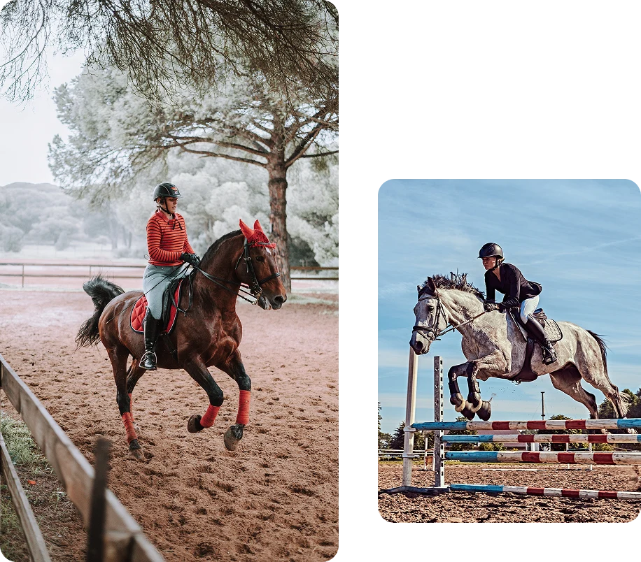
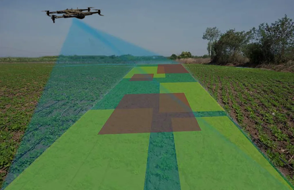
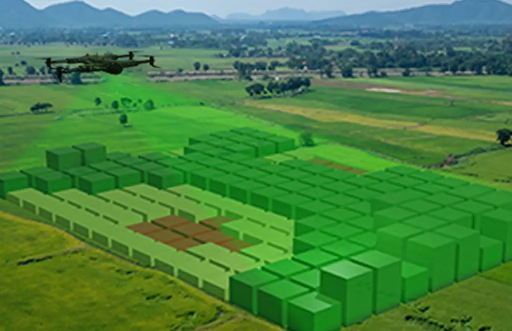
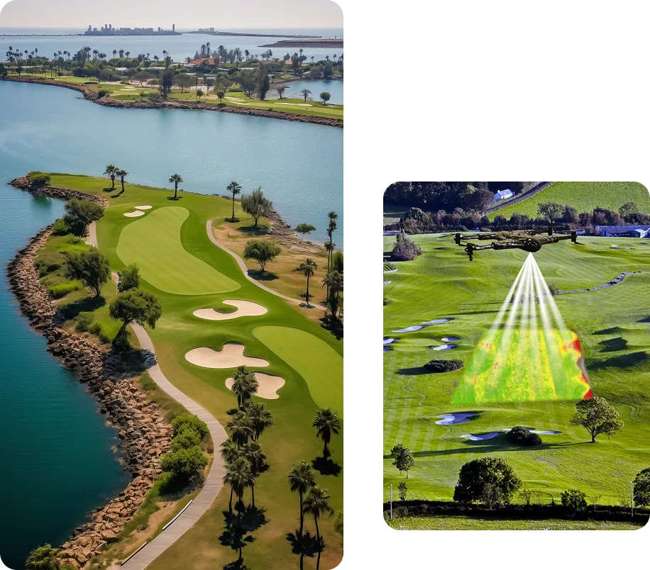
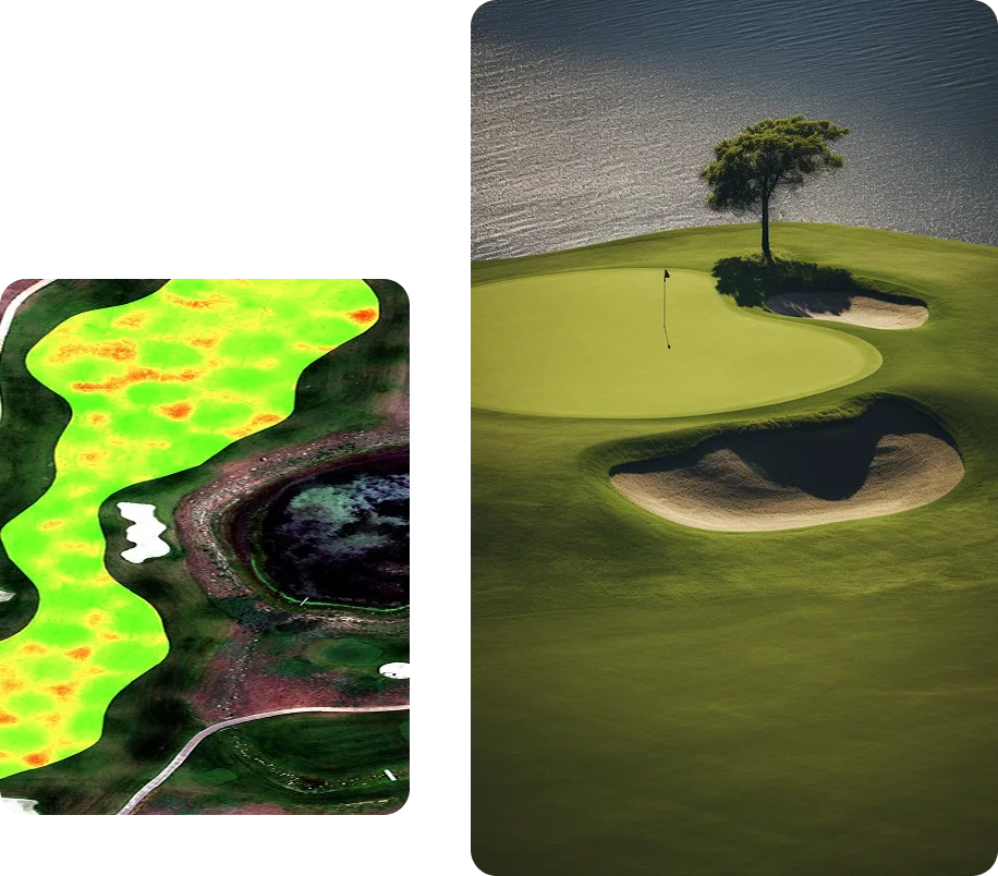
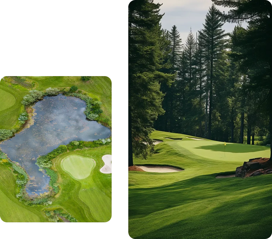
Turf Health & Irrigation Monitoring
Detect over- or under-watered areas, turf stress, disease, and compaction using multispectral and thermal imaging. Our drones help pinpoint irrigation inefficiencies and reduce water usage while maintaining pristine greens and fairways.

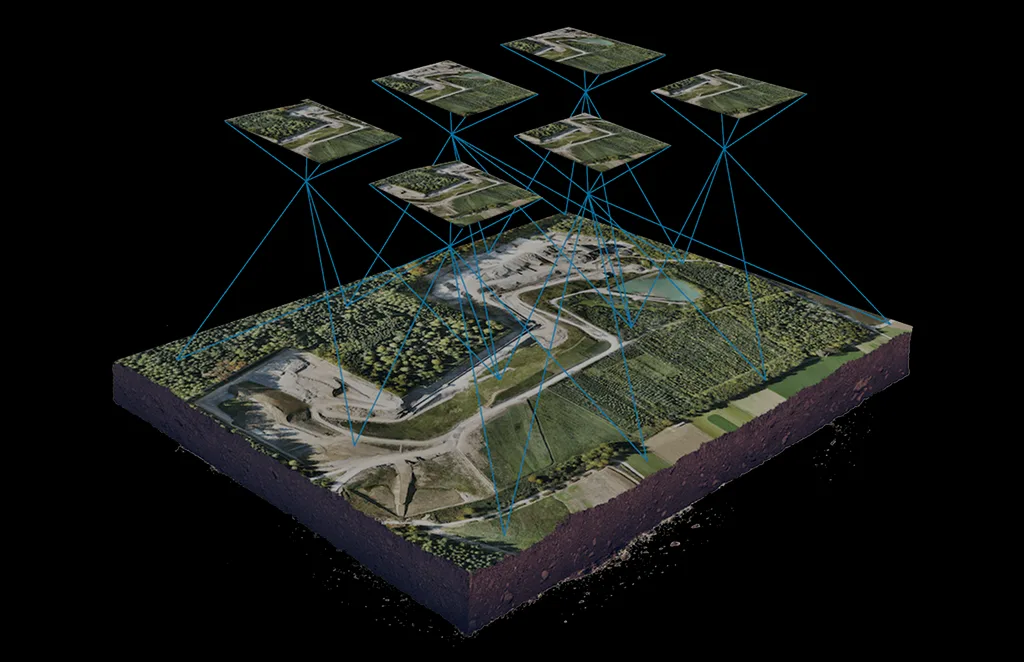
Aerial Mapping & Landscaping
Generate accurate, geo-referenced maps and 3D models to support landscaping plans, new course design, hazard placement, and routing optimization—all with centimeter-level accuracy.

Marketing & Event Coverage
Capture breathtaking aerial footage for promotional videos, member engagement, and tournament coverage. Drones provide dynamic visuals that enhance branding and storytelling.
Drone Services for Racecourses

Track Condition Monitoring
Inspect entire racing tracks from above in minutes. Detect uneven surfaces, debris, water accumulation, and turf health issues—helping you maintain optimal safety for horses and riders

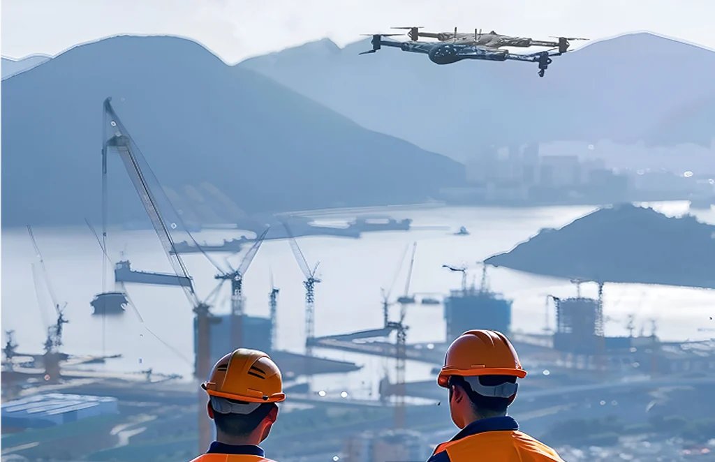
Facility Planning & Site Management
Map large venues with ease to assist in infrastructure planning, parking layout, paddock positioning, and crowd flow management during large-scale events.

Live Event Filming & Broadcast Support
Provide unique, immersive viewing angles for fans and broadcasters using stabilized drone footage—ideal for race day highlights, advertisements, and live coverage.
Key Benefits
Enhanced Turf Management: Optimize maintenance efforts and reduce chemical and water usage.
Operational Efficiency: Inspect expansive grounds in minutes—cutting down manual labor and maintenance time.
Improved Safety: Proactively identify hazards on tracks or courses before they become liabilities.
Professional-Grade Visuals: Elevate your marketing, social media, and event documentation with cinematic drone footage.
Data-Driven Decision Making: Leverage aerial data to drive informed choices about upkeep, design, and event logistics.
Who We Work With
- Golf Course Superintendents & Groundskeepers
- Racecourse Managers & Event Organizers
- Turf Management Companies
- Hospitality & Resort Operators
- Sports Marketing & Broadcast Teams
From championship golf courses to elite racetracks, our drone services are tailored to meet the highest standards of turf care and operational excellence.
Manage Your Course with Confidence—From the Sky
Discover how drone technology can bring unparalleled insight, efficiency, and creativity to your golf or racecourse operations. Whether for daily maintenance or special event coverage, we help you deliver unforgettable experiences from the ground up—and the sky down.
Ready to elevate your course management?
Contact Drone as a Service today to explore customized drone solutions for golf and racecourse operations.
Services Offered
Unlock the power of precision with our Drone-as-a-Service solutions. From raw terrain to refined insights, our drone-powered offerings accelerate every phase of your land development projects.
Concrete Scanning
Precision drone scanning to detect structural defects…
Agriculture and Farm
Crop health monitoring, yield estimation, and farm…
Solar Panel Drone Inspection
Efficient thermal imaging and analysis…
Construction Progress
Update
Track construction milestones with aerial…
Power Line
Inspections
Safe, remote inspections of power infrastructure…
Roof Survey
Inspection
Quick and detailed inspections…
Mining, Quarries &
Aggregates
Monitor operations, measure…
Land Survey
Efficient, high-accuracy surveys for boundary mapping and…
Renewable Energy Industry
Drone solutions tailored for wind farms, solar…
3D Scanning Services
Accurate 3D modeling of structures and landscapes for…
Archaeology
Non-invasive drone mapping to uncover and document…
City Planning
High-resolution imagery and data to support infrastructure…
Multispectral Terrain Mapping
Multi-band imaging for vegetation analysis…
Terrain & Elevation Model
a Generate detailed terrain and elevation …
Get In Touch
Let’s elevate your operations.
Whether you’re curious about our drone solutions or ready to launch a project, our team is just a message away.


