Drone Services for the Energy Sector
Powering Innovation from Above: Drones in Energy & Telecommunications
Smarter Inspections. Safer Operations. Faster Results.
As the energy and telecommunications sectors evolve, so do the demands for smarter infrastructure monitoring, preventive maintenance, and data-driven planning. Our drone solutions offer a safer, faster, and more cost-effective alternative to traditional ground and manual inspection methods—empowering companies to manage vast networks and complex assets with precision.
Drone Services for the Energy Sector

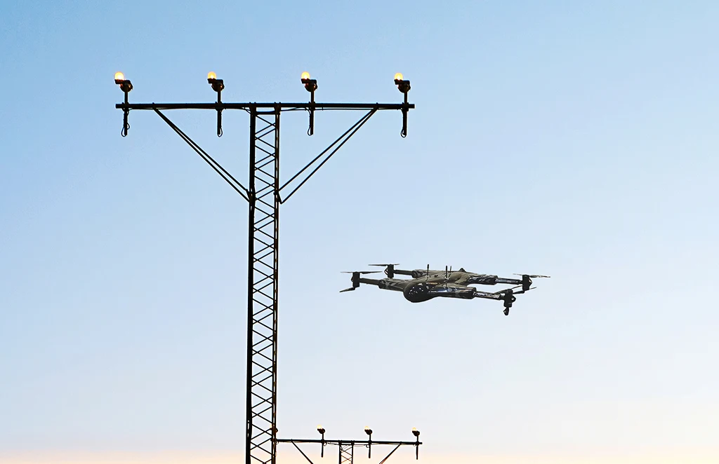
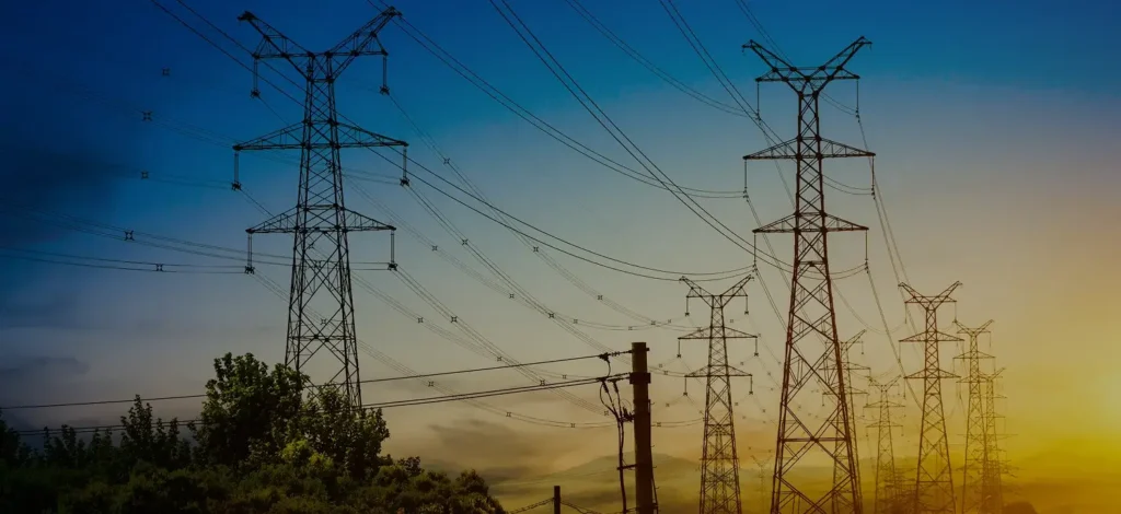
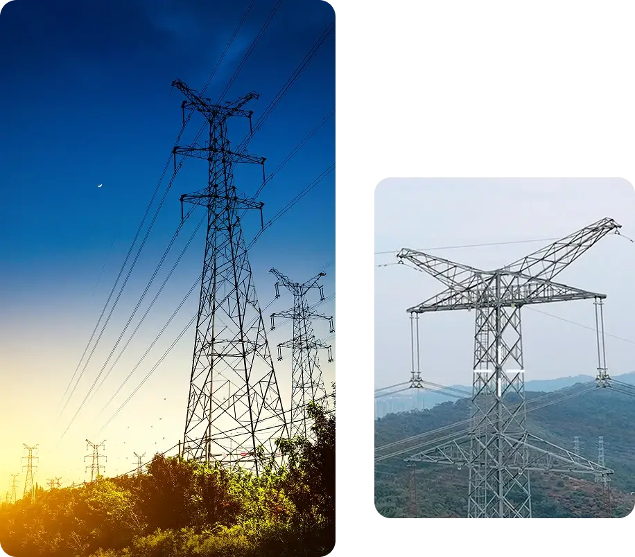
Power Line & Utility Inspections
Drones equipped with high-resolution, thermal, and LiDAR sensors can quickly scan hundreds of kilometers of power lines, substations, and poles—identifying hotspots, damaged insulators, vegetation encroachment, and corrosion without risking human safety.

Oil & Gas Pipeline Monitoring
Monitor pipelines for leaks, corrosion, or ground disturbances using aerial surveillance. Our drones detect anomalies in real-time, reducing environmental impact and enhancing regulatory compliance.

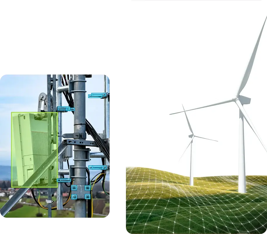
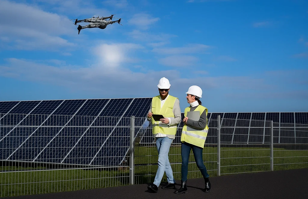
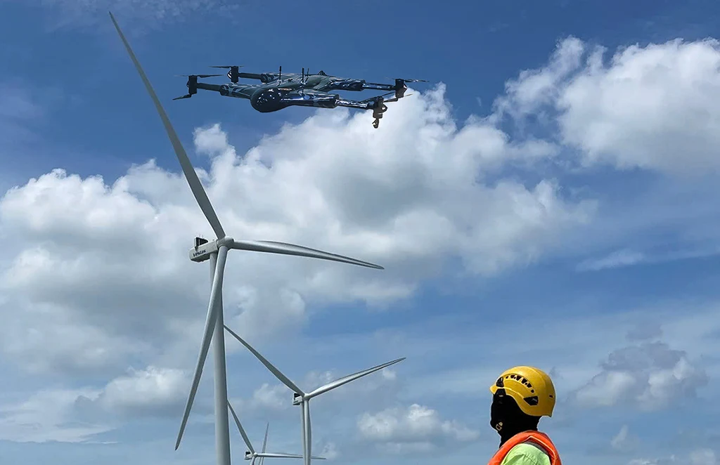
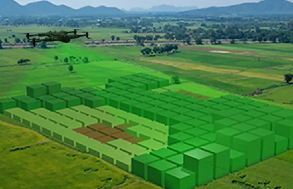
Renewable Energy Asset Inspection
Solar farms and wind turbines benefit from drone inspections that can detect panel defects, cracks, shading issues, and blade damage—without halting operations. Get thermal data, high-res imagery, and automated reporting in a single flight.
Drone Services for Telecommunications

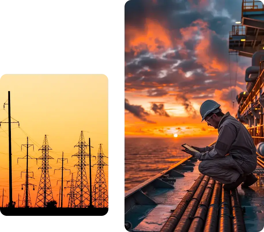
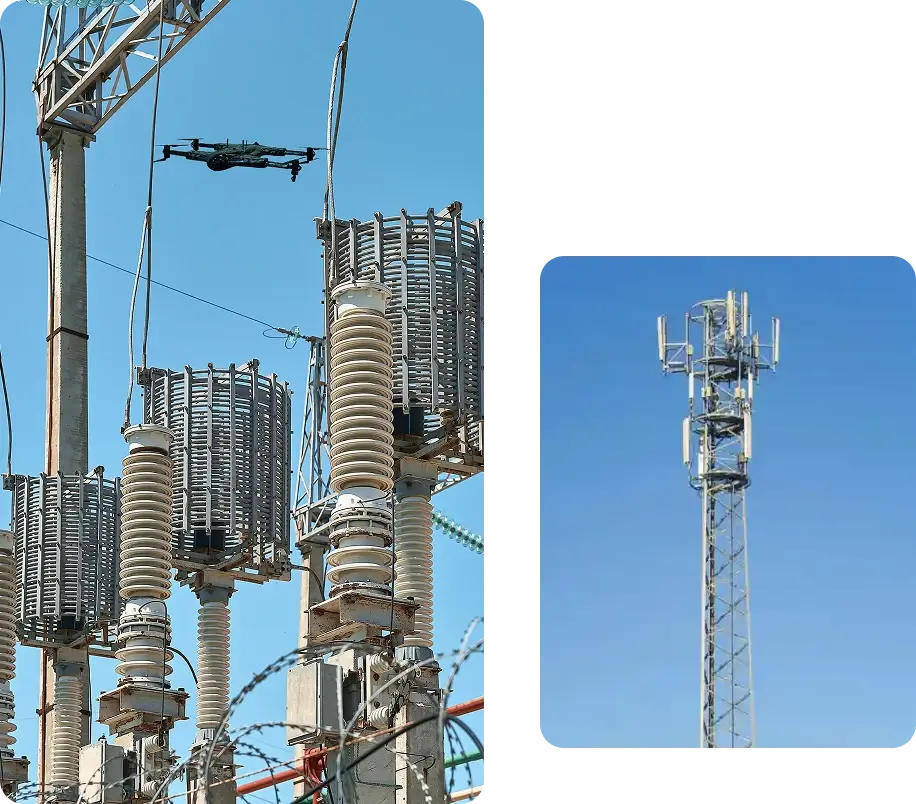
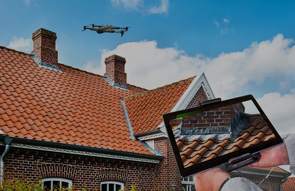
Tower & Antenna Inspections
Manually climbing telecom towers is not only risky—it’s time-consuming. Drones can inspect cell towers, antennas, and microwave dishes with precision, capturing close-up imagery and 3D models for engineers to analyze remotely.

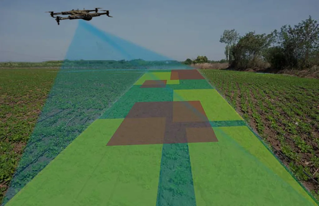
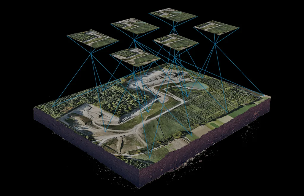
Network Expansion Planning
Drones provide detailed aerial surveys for site selection, line-of-sight analysis, and terrain modeling. This accelerates the planning and deployment of new towers and fiber networks, ensuring optimal connectivity with fewer field visits.

Maintenance & Asset Auditing
Maintain an up-to-date visual inventory of telecom assets across remote and urban locations. Regular drone audits support preventive maintenance, compliance checks, and CAPEX planning
Benefits of Drone Integration
Risk Reduction: Eliminate the need for human workers to climb towers, enter hazardous zones, or navigate remote terrains.
High-Precision Data: Capture detailed imagery, thermal readings, and 3D models for accurate diagnostics and predictive maintenance.
Operational Efficiency: Inspect dozens of assets in a single day—drastically reducing downtime and inspection costs.
Regulatory Compliance: Ensure inspections meet industry standards with timestamped visual records and automated reports.
Sustainability & Scalability: Minimize environmental impact and scale across vast geographies with ease.
Who We Serve
- Power Utility Companies
- Renewable Energy Operators
- Oil & Gas Infrastructure Firms
- Telecom Network Providers
- Engineering & Maintenance Contractors
Whether managing hundreds of telecom towers or inspecting miles of transmission lines, our drone services adapt to your infrastructure needs—urban or remote.
Take Control of Your Infrastructure, From the Sky
Aerial intelligence is changing how the energy and telecom sectors operate. With our end-to-end drone solutions, you gain visibility, control, and actionable data—all while reducing risk and improving ROI.
Interested in modernizing your infrastructure management?
Contact us today to explore drone-powered solutions for your energy or telecom operations.
Services Offered
Unlock the power of precision with our Drone-as-a-Service solutions. From raw terrain to refined insights, our drone-powered offerings accelerate every phase of your land development projects.
Concrete Scanning
Precision drone scanning to detect structural defects…
Agriculture and Farm
Crop health monitoring, yield estimation, and farm…
Solar Panel Drone Inspection
Efficient thermal imaging and analysis…
Construction Progress
Update
Track construction milestones with aerial…
Power Line
Inspections
Safe, remote inspections of power infrastructure…
Roof Survey
Inspection
Quick and detailed inspections…
Mining, Quarries &
Aggregates
Monitor operations, measure…
Land Survey
Efficient, high-accuracy surveys for boundary mapping and…
Renewable Energy Industry
Drone solutions tailored for wind farms, solar…
3D Scanning Services
Accurate 3D modeling of structures and landscapes for…
Archaeology
Non-invasive drone mapping to uncover and document…
City Planning
High-resolution imagery and data to support infrastructure…
Multispectral Terrain Mapping
Multi-band imaging for vegetation analysis…
Terrain & Elevation Model
a Generate detailed terrain and elevation …
Get In Touch
Let’s elevate your operations.
Whether you’re curious about our drone solutions or ready to launch a project, our team is just a message away.


