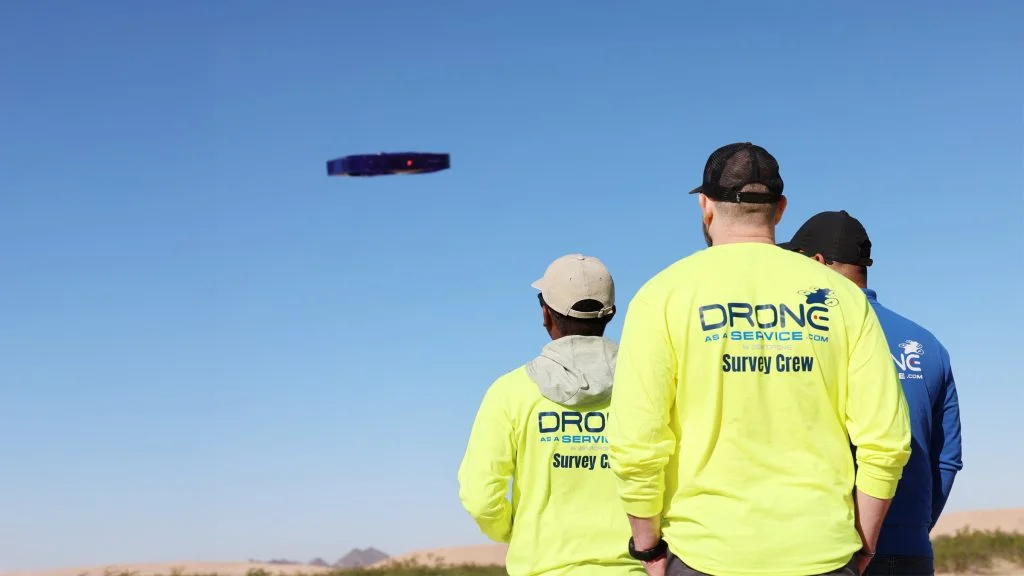
Drone as a Service provides business and government clients with transformative solutions via AI-powered drone intelligence and implements to optimize performance across all operations.
Discover a new perspective with rich aerial data and innovative drone implements.
0%
Faster data delivery than traditional, ground-based methods.
0+
Active projects surveyed weekly across diverse industries.
0%
In project costs saved through reduced labor, time, and equipment usage.
0+
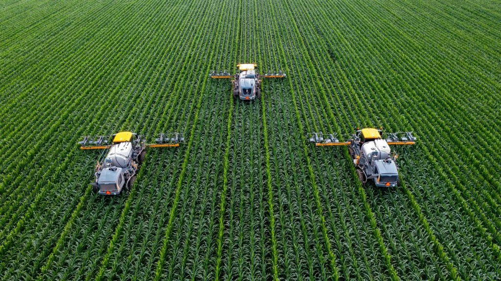
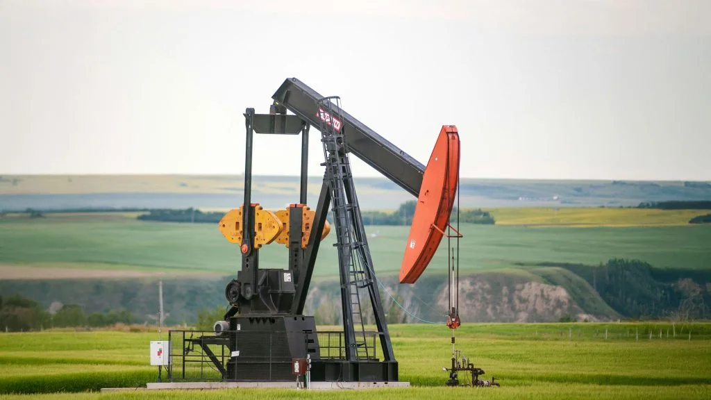
Clients served in agriculture, government, energy, construction, real estate, and more.
GET A SHARPER VIEW
See what Drone as a Service can achieve for your project.
THE DRONE AS A SERVICE ADVANTAGE
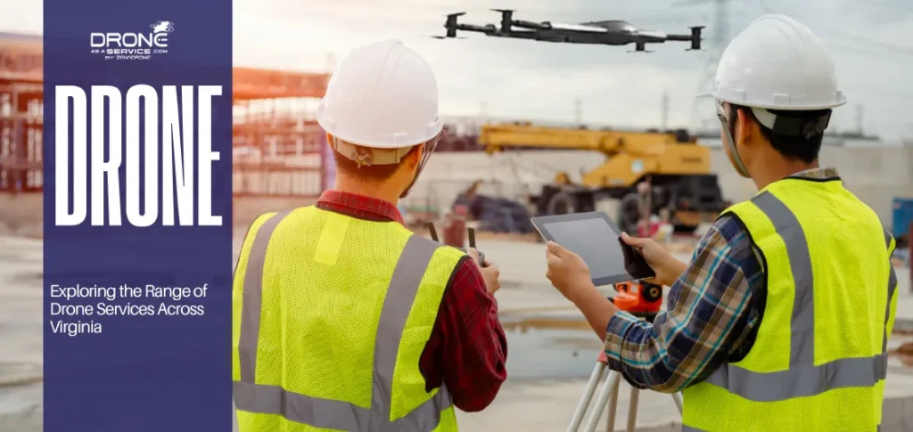
With Drone as a Service, clients avoid the capital costs of drone ownership and the inconvenience of hiring pilots and maintaining regulatory approvals. Every mission is flown by a licensed drone pilot, using an FAA-registered drone. Our pay-per-use and subscription models provide flexibility, and we offer end-to-end data management services.
SOLUTIONS FROM ABOVE
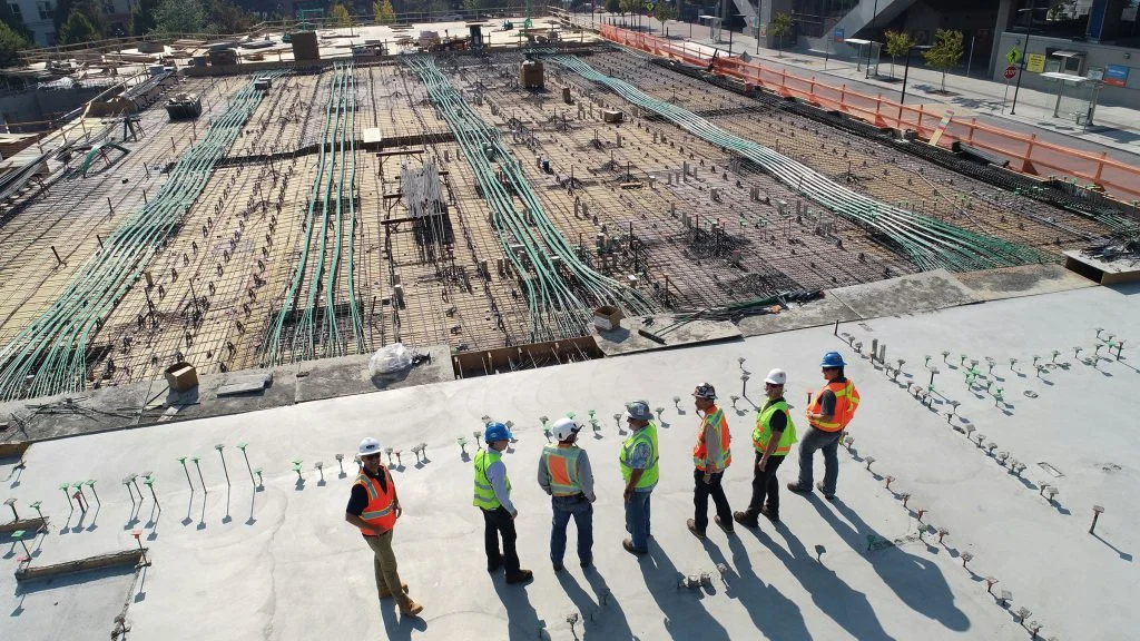
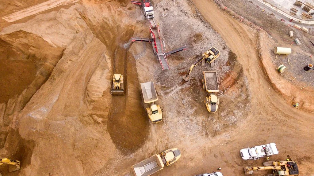
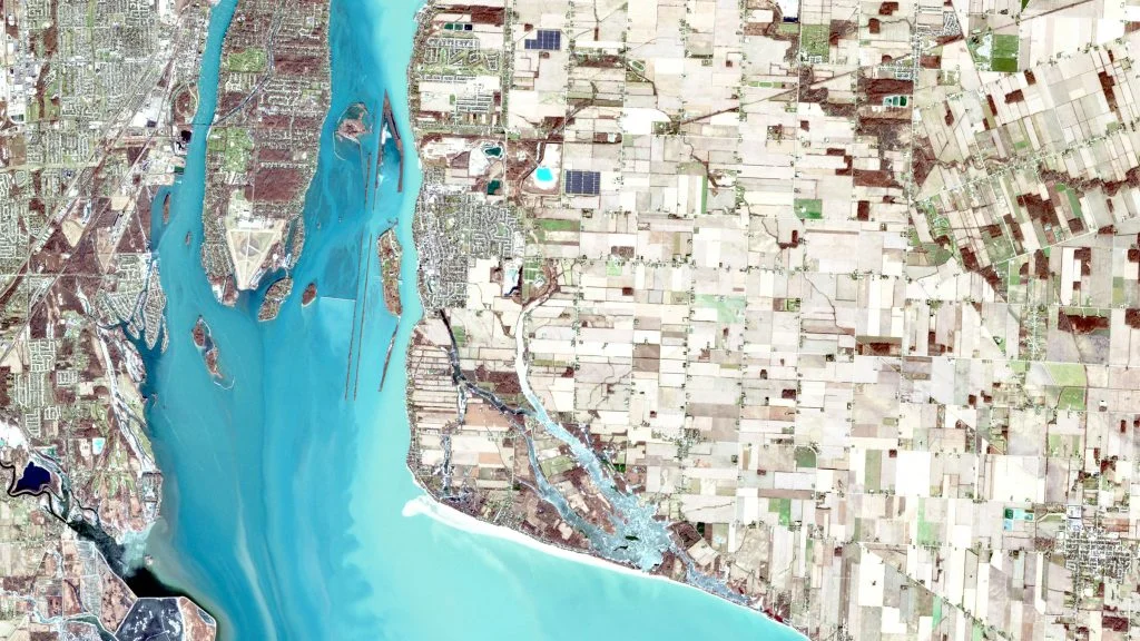
Precision Aerial Surveying
Our drones use LiDAR and photogrammetry for an ultra-precise analysis of any project, increasing efficiency and results.
Cost-Saving Speed
We reduce costs by 50% compared to traditional methods, producing detailed maps and models ready to use for analysis and planning.
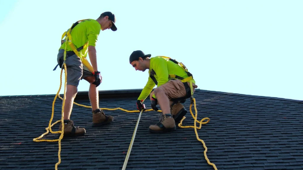
Safer Inspections
Our drone services reduce risk by easily reaching hazardous or hard-to-access areas, while delivering data 60% faster than traditional methods.
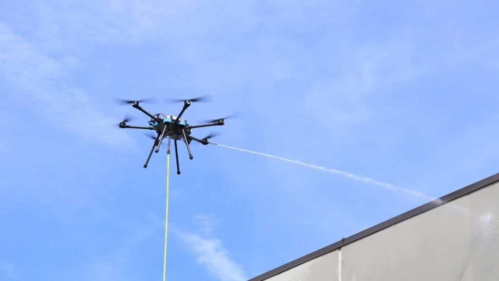
Drone Implements
From power washing to agricultural spraying and seeding to serving as an emergency communications relay, our drones do much more than provide data insights.
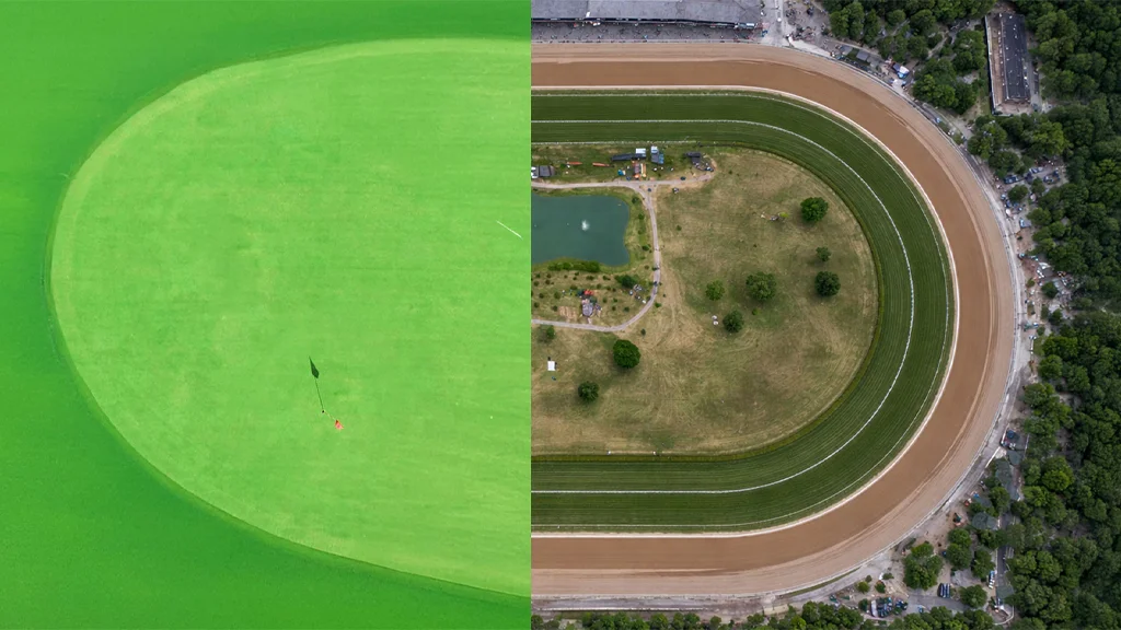
Drone technology is
setting a new standard in
golf course and
racecourse design and
management.
REIMAGINE YOUR FUTURE
Expand how your business collects and utilizes data, and delivers solutions—with precision, speed, and safety. When it comes to improving productivity and profitability, Drone as a Service ensures that the sky’s no limit.
Data + Implements
Capture high-accuracy, geospatial intelligence and utilize versatile drone implements.
Scalable & Flexible
Whether it’s one site or 100, our drone fleet scales with your project across locations and timelines.
End-to-End Service
From mission planning to data processing, we manage it all—delivering actionable insights without slowing your workflow.
ENHANCED INSIGHTS
Stay informed on the latest innovations and news in drone technology.
TL;DR Drone services in Virginia provide accurate aerial data for surveying, mapping, and infrastructure inspection. Industries use drones for planning,...
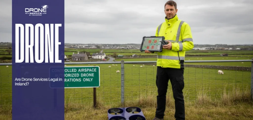
Drone services cost Ireland depends on equipment choice, regulatory approvals, and the complexity of data processing. Commercial projects often require...